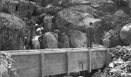
The Coliban Main Channel: Flume 10
One of the more unfortunate errors in the book (The Coliban Main Channel: A Walking Guide) was to conclude that the bottom photo on page 115 was of Flume 3 looking up the hill towards the south west. The lesson from this mistake is that a perceived need to rush into print is no excuse not to take adequate care in ensuring historical accuracy. With further thought I realised I hadn't explored the site of Flume 10 adequately. Once I examined the gully more carefully I realised that this was indeed the location of the flume on page 115. For the location of Flume 10 see map page 126. It's the only flume that occurred in this section. Here is that photo. Note the rocks circled in yellow.


Comments
Post a Comment